Each month we review a resource from the Smart Soils Resource Library. This month’s resource is brought to you by Smart Soils Community of Practice member Lucy Porter – Regional Soil Coordinator for South Australia
Are you looking for an online tool to explore the soil types around your local area and across South Australia?
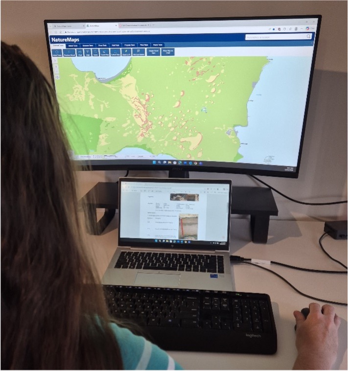
NatureMaps is a free online resource which allows users to view digital maps of soil, vegetation and other natural resource attributes across the landscape. You can zoom in on areas of interest, turn map layers on and off based on your needs and view thousands of soil characterisation sites with a summary of properties, including soil chemistry data.
“The resource is particularly useful for land managers, consultants, contractors, agronomists and environmental assessors to review spatial layers of soil, vegetation, landscapes, groundcover, tenure, land use, protected areas, and wetlands” said Lucy Porter.
Managed by the South Australian Government Department of Environment and Water, Lucy Porter pointed out that “it’s a great resource to use before visiting a field site to understand what may be expected and identify potential constraints and factors to look out for.
FIND OUT MORE
Online tool: NatureMaps
Author/Editor: South Australian Government Department of Environment and Water
Publisher: South Australian Government Department of Environment and Water
Smart Soils Resource Library category: Soil Mapping